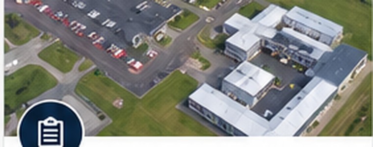
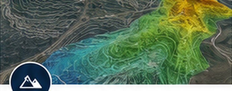
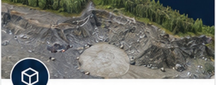
Mapping & Documentation
- Orthophoto Mapping
- Property Documentation
- Construction Progress Documentation
- 360° Site Documentation
- Roof Inspections
- Agricultural Mapping
Aero-AIM provides aerial mapping, site documentation, and geospatial information services designed to help clients better understand sites, document conditions, measure change, and support planning and decision-making.
Not every project requires RTK accuracy. Not every client should pay for it. Aero-AIM matches data collection and processing workflows to the requirements of each project.
Aero-AIM is based in Fairbanks, Alaska. Local projects are supported throughout the Fairbanks area. Projects outside the local area may include travel charges based on distance, travel time, access requirements, and project scope.
Projects elsewhere in Alaska are available by arrangement and may require transportation, lodging, meals, additional personnel, ATV support, or other logistical planning.
Let's talk about how Aero-AIM can help.